Maggie Church
  • Home
  • Research
  • CV

On this page

  • PPR Pond Mapper

Research

PPR Pond Mapper

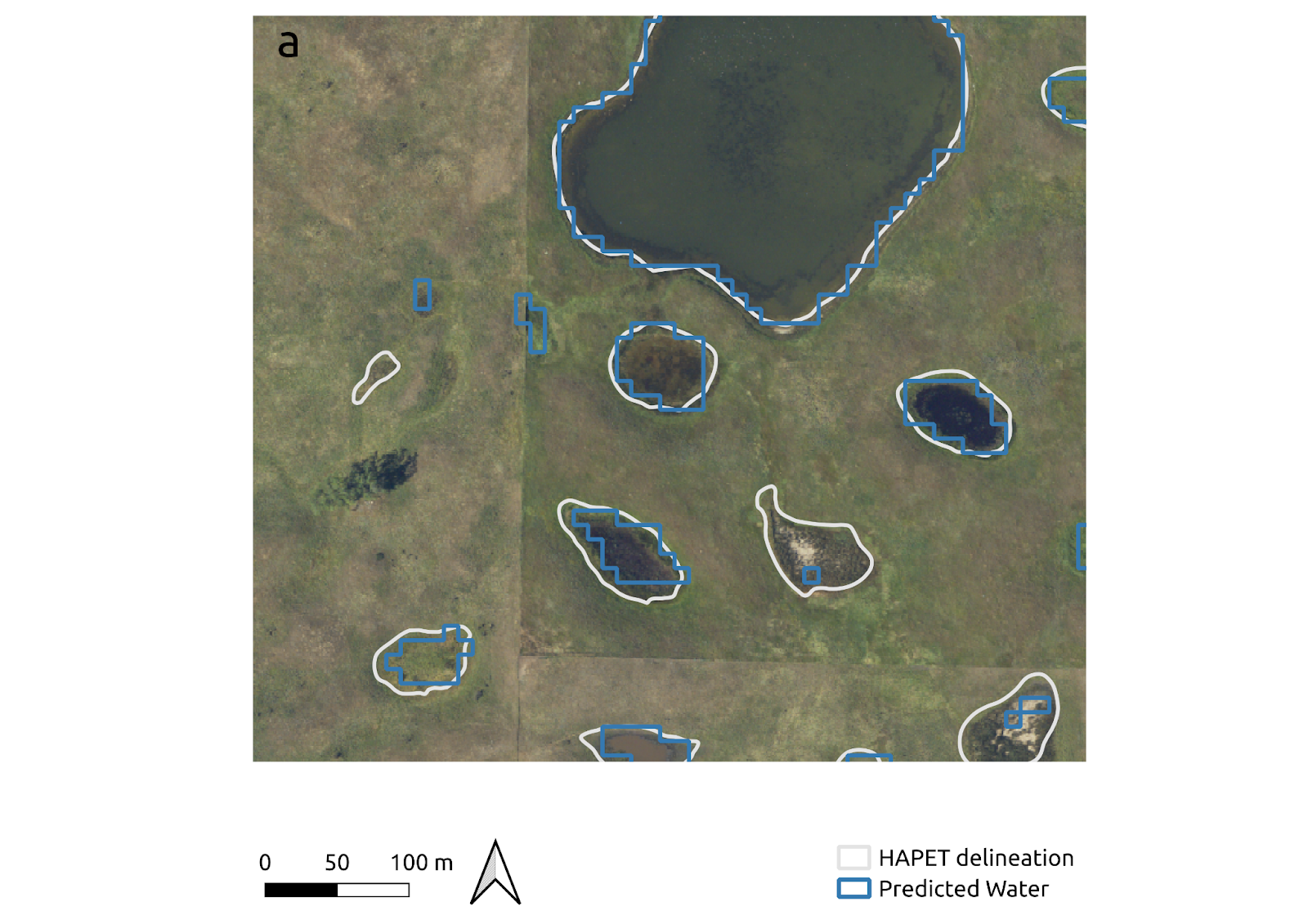
In this project, I use remote sensing, machine learning, and open science practices to map terrestrial wetlands in the Great Plains region at a high level of detail. This work is funded by the USFWS and NASA, in an effort to better inform waterfowl conservation. Learn more about it here. 

Example of model performance: estimated surface water (blue) compared to observed surface water delineations (white).

Video

The PPR Pond Mapper can supplement aerial surveys by providing surface water estimates throughout the growing season. Notice how the ponds dry out between May and October each year!